Live fleet visibility
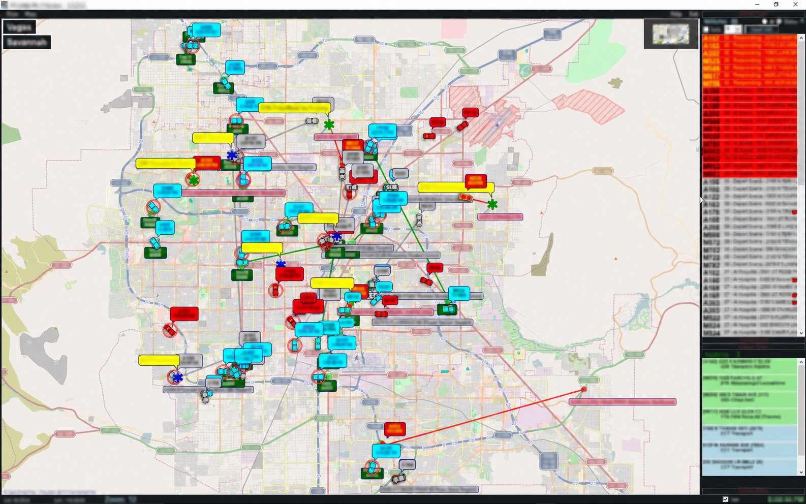
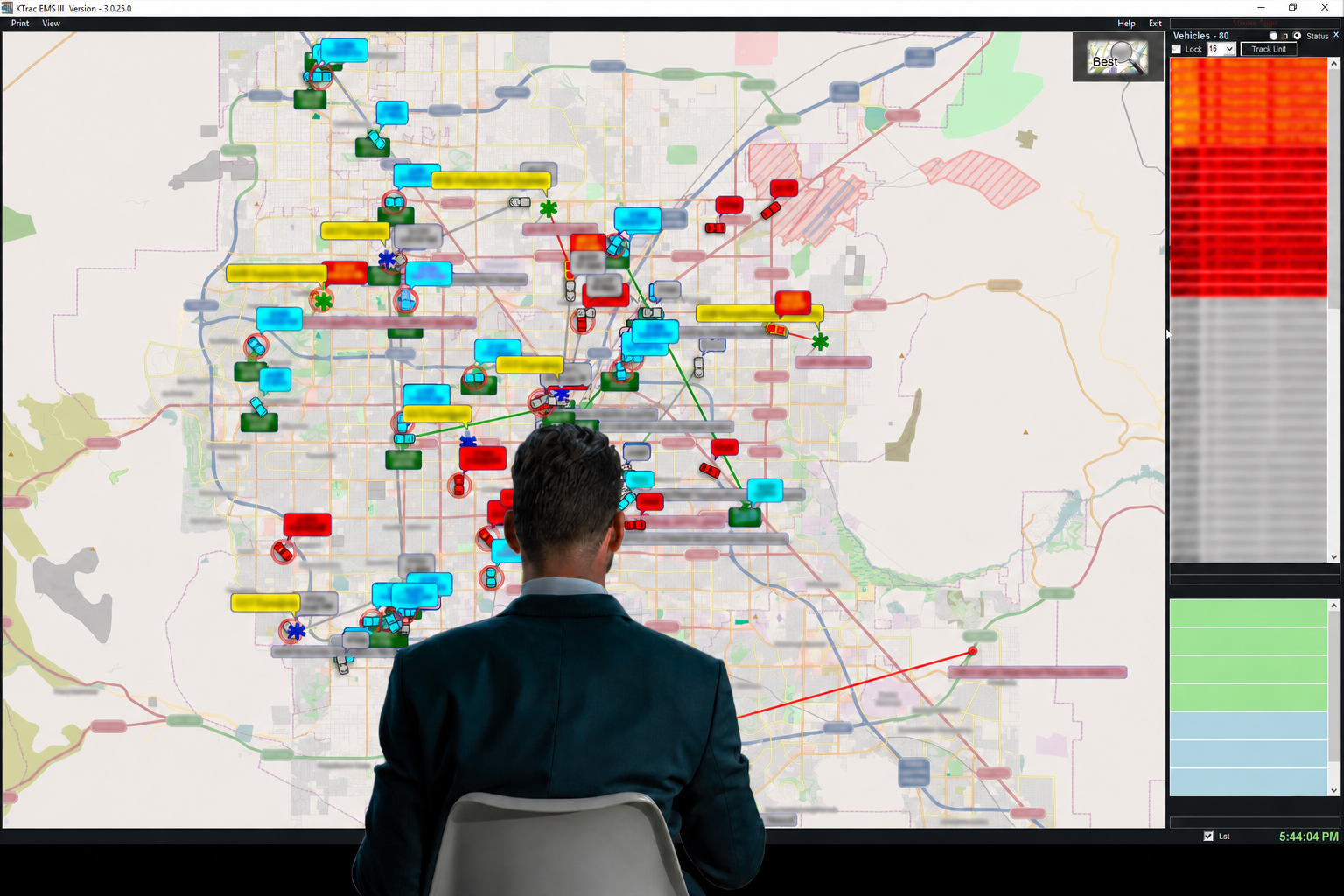
See vehicle locations, unit status, incidents, and assignments in one continuously updated view.
Public safety fleet intelligence
KTrac brings CAD, GPS, and mapping data together in one operational view—helping dispatch teams see more clearly and respond more effectively.
Built for the moments that matter
Emergency operations generate a constant stream of data. KTrac turns that information into a practical, visual workspace for dispatchers, supervisors, and fleet managers.
See how the platform worksSee vehicle locations, unit status, incidents, and assignments in one continuously updated view.
Bring GPS devices and Computer Aided Dispatch data together through a dependable integration layer.
Replay prior activity visually to support review, reporting, training, and operational improvement.
One connected platform
KTrac helps public safety teams turn disconnected operational inputs into useful, actionable context.
Receive live location and dispatch data from the systems your agency already uses.
Display units, incidents, statuses, and routes on a configurable operational map.
Store combined records for historical playback and post-incident analysis.
The KTrac suite
The front-end operational interface for real-time fleet and incident awareness.
Learn more →
Explore historical GPS and incident data in a clear visual environment.
Discover playback →
Connect in-vehicle GPS, CAD systems, dispatchers, and logging workflows.
Explore AVL →
Log combined AVL data to your selected database for later analysis.
Explore DB Loader →Start a conversation
Tell us about your fleet, CAD environment, and operational goals.
Contact King Technical Services